3Di
3Di is a set of interactive and integrated model instruments for high resolution water calculations. The instruments have been specifically designed to support decision-making in water management relating to: - flood risk management (flooding, damage and casualty calculations, cascade effects);
- pluvial flooding (caused by severe precipitation)
- crisis management (scenarios in cold and warm stages) and
- spatial planning (“drawing and calculating”).
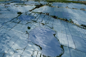
3Di calculates in an interactive manner in the cloud, and can visualise results realistically on a screen or touch table. This enables an entire group of people to analyse problems and “try out” measures all at the same time, thus working on public support for any decisions that are made.
Through Lizard, the calculated water images can be combined with a host of additional information, for example, heat stress maps, soil subsidence, or the location of vulnerable objects. An example of a directly available tool with such a combination is the so-called climate adaptation atlas for municipalities.